3D Scanning Services
for Construction & BIM Projects
3D scanning is used to capture accurate, real-world site conditions for construction, refurbishment, and retrofit projects. This process involves collecting high-density spatial data to create a precise digital representation of existing structures, building elements, and installed services. The resulting scan data provides a reliable reference that supports informed decision-making throughout modelling, coordination, and documentation stages.
In projects where existing drawings are outdated, incomplete, or unavailable, 3D scanning establishes a dependable base of information that reflects actual site conditions rather than assumptions.
What 3D Scanning Delivers
The outcome of a 3D scanning process is a detailed spatial dataset that represents existing site geometry with a high level of accuracy. This data is commonly used as a reference for modelling, coordination, and construction documentation workflows. By working from verified scan information, project teams can reduce uncertainty, minimise rework, and improve overall coordination efficiency.
The digital outputs generated through scanning enable accurate alignment between physical site conditions and downstream BIM or CAD deliverables.
When 3D Scanning Is Required
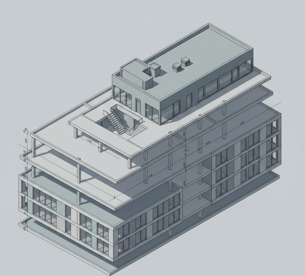
3D scanning is typically required in projects involving existing buildings, live environments, or complex service layouts. It is particularly valuable during refurbishment and renovation works, where new construction elements must integrate with existing structures and services. The service is also used where dimensional accuracy is critical prior to modelling, coordination, or fabrication activities.
In operational facilities, scanning provides a non-intrusive method of capturing site data while minimizing disruption to ongoing activities.
Project Types That Use 3D Scanning
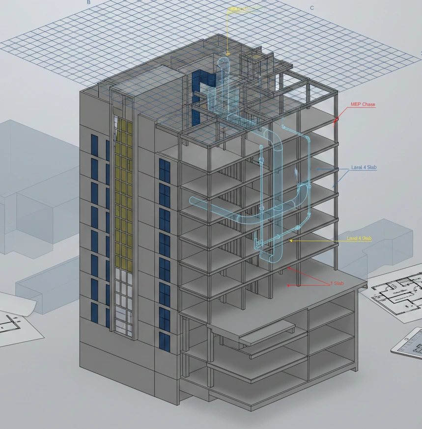
This service is widely applied across commercial, industrial, healthcare, education, and residential projects. It is commonly used in areas with dense building services such as plant rooms, risers, ceiling voids, and technical spaces. The versatility of 3D scanning allows it to support both large-scale developments and smaller, detail-sensitive environments.
The captured data supports coordination across multiple disciplines by providing a shared and reliable reference point.
Integration With BIM & Modelling Workflows
3D scanning data is frequently integrated into BIM environments to support accurate modelling and coordination activities. Point cloud information is aligned within BIM platforms to guide the development of as-built models, coordination models, and construction documentation. This integration allows digital models to reflect real-world conditions rather than theoretical geometry.
Using scan-based references during modelling improves alignment between design intent and site reality, supporting more reliable coordination outcomes.
Accuracy, Standards and Output Formats
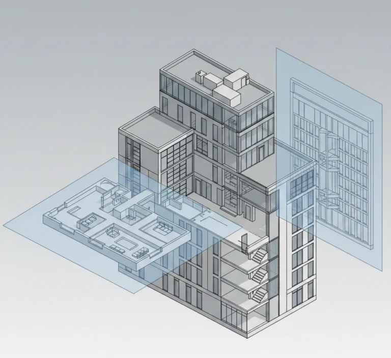
The accuracy of 3D scanning outputs is determined by project requirements and intended use. Scan data is generated to meet construction and coordination standards, ensuring compatibility with BIM and CAD software platforms. Registered and cleaned datasets allow for efficient use during modelling and documentation without unnecessary processing delays.
Appropriate accuracy levels are selected to balance project scope, deliverable requirements, and downstream workflow needs.
Relationship With As-Built and Reality Capture Services
3D scanning often forms the foundation for as-built modelling and reality capture to BIM services. The scan data provides the spatial reference required to generate accurate as-built models and documentation for existing facilities. This approach supports refurbishment planning, coordination of new works, and verification of installed conditions.
By establishing a reliable digital baseline, subsequent modelling and coordination tasks can proceed with greater confidence.
Project Requirements & Next Steps
For projects requiring accurate site capture to support modelling or coordination, project details can be shared for review.
What are 3D scanning services in construction projects?
3D scanning services capture accurate, real-world site conditions using laser scanning technology to create high-density point cloud data for BIM, coordination, and documentation.
When should 3D scanning be used in a project?
3D scanning is ideal for refurbishment, retrofit, renovation, and live-environment projects where existing drawings are outdated or unavailable.
How accurate is 3D laser scanning?
Accuracy depends on project requirements, but scanning is carried out to meet construction and coordination standards suitable for BIM and CAD workflows.
Can 3D scanning be used for BIM modelling?
Yes, scan data is commonly integrated into BIM platforms to develop as-built models, coordination models, and construction documentation.
What types of projects use 3D scanning services?
Commercial, industrial, healthcare, education, and residential projects-especially plant rooms, risers, ceiling voids, and service-dense areas.
3D Scanning Services - FAQs
Contact